
Engineering Services
Cultural Site Preservation O’ahu, Hawaii
Tactica Solutions assisted the on-going effort at Ka’ena Point Satellite Tracking Station to determine the location of a possible new radar for the Missile Defense Agency. Specifically, we established a perimeter around two cultural sites to avoid encroachment, contamination or site destruction by the crews coming in to take core samples of the soil. We utilized satellite imagery and a mobile global positioning system to install delineator posts at or around 30 meters from the cultural site, creating a noticeable nonintrusive barrier.
Project at a Glance
- Location: Ka’ena Point Satellite Tracking Station O’ahu, Hawaii
- Our Role: Installed a protective barrier around two historic cultural sites | GPS locations of all posts installed on the ground | Created a map outlining the delineator posts installed on the site.
ePRISMS Data Collection and Development
Tactica Solutions provided comprehensive support for the Army’s enterprise ePRISMS system, delivering expert data collection, CAD support, and quality control to establish standardized building data sets. This capability has enabled improved space utilization, cost savings, and more informed strategic investment decisions across multiple installations.
Project at a Glance
- Location: Fort Sill, OK | Picatinny Arsenal, NJ | Fort Benning, GA
- Our Role: Floor plan development, facility utilization surveys, and space management data integration
- Project Metrics: 20 million square feet of facility data collected | 1000+ facility asset verifications | Enhanced cost and space optimization
116th Military Intelligence Brigade (MIB) AISR Systems Engineering & Technical Assistance (SETA) Support
Tactica Solutions delivered critical staff operations support and technical expertise to the 116th Military Intelligence Brigade. Our efforts focused on systems engineering, ensuring effective collection, processing, and dissemination of aerial intelligence. This support enabled enhanced operational readiness and streamlined intelligence workflows in austere environments.
Project at a Glance
- Location: Ft. Eisenhower
- Our Role: Operations & planning support, technical assistance for A-ISR systems, and integration of CPED processes
- Project Metrics: Improved situational awareness through advanced ISR support | Streamlined CPED operations | Enhanced intelligence data integration
CAPABILITIES
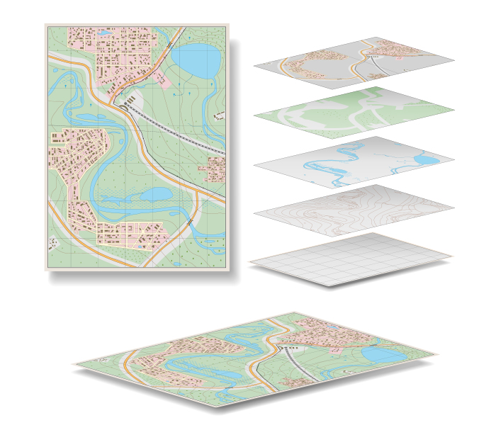
Geospatial Information Systems
Geospatial Information Systems
- Creation and maintenance of utility, real property, and infrastructure survey data
- Master and strategic planning
- Safety and protection management

General Fund Enterprise Business System (GFEBS)
General Fund Enterprise Business System (GFEBS)
- Validate, reconcile, and correct all real property line items within GFEBS
- Update all required supporting documentation within the real property record
- Bring all real property records into audit compliance, taking whatever action is needed (real property photos, real property identifiers, creating/organizing real property folders)

Military Master Planning
Military Master Planning
- Requirements analysis processes following the principle methodology defined in the IMCOM Space Planning Criteria Manual text
- Planning Charrette to produce DD Form 1391 accurately capturing desired scope, justification and cost of the mission with supporting documentation
- Facility Utilization Studies
- Area Development and Area Development Execution Plans
Proud to Serve Our DOD Clients


